
Moab · Utah
Moab
Utah · United States
A desert town at the center of a landscape far larger than one park.
Moab is the road-trip base for Arches, Canyonlands and Dead Horse Point, where natural arches, river-cut canyons and immense Colorado Plateau views begin in different directions from the same town.
DISCOVER MOAB
One base, several distinct expressions of canyon country.
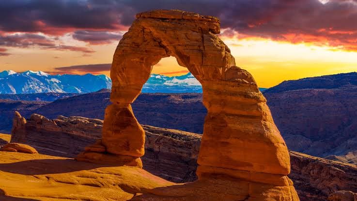
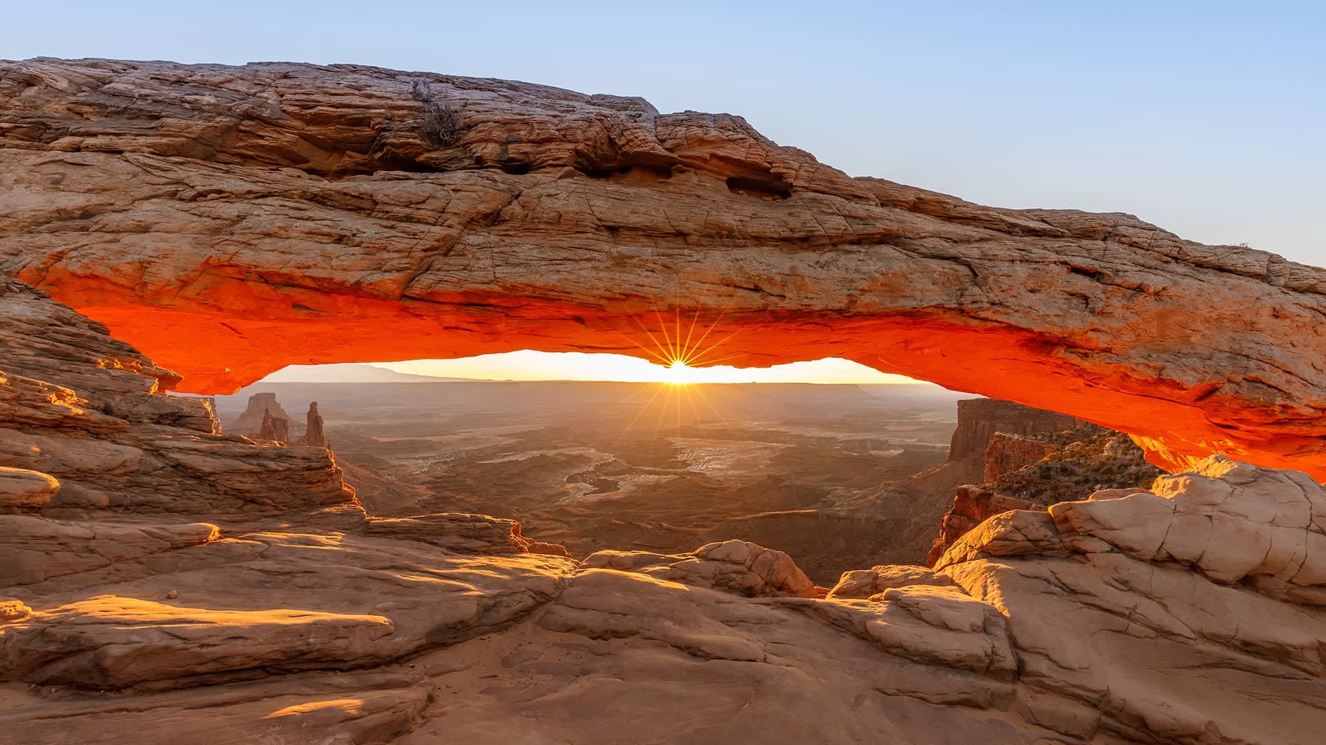
Moab works because several major landscapes meet around one practical desert town. To the north, Arches National Park is defined by freestanding spans and fins, from the familiar profile of Delicate Arch to the extraordinarily thin ribbon of Landscape Arch. In Canyonlands, the scale changes: Mesa Arch frames the terrain below, while Grand View Point looks across a system of canyons carved into the Colorado Plateau. Dead Horse Point State Park is separate from both national parks, occupying its own cliff-edge position above a gooseneck in the Colorado River. Corona Arch, reached across open BLM land, adds another large natural span without repeating the national-park experience. These places cannot be understood as a single attraction or fitted comfortably into one hurried loop. Roads leave Moab in different directions, daylight and weather change the rock through the day, and trail conditions matter. The town's role is to hold that geography together, giving a journey a base between park roads, river corridors and trailheads while the surrounding plateau provides the real sense of scale.
A Base Between Parks
Arches · Canyonlands · Colorado Plateau
The town is the constant; every road out reveals a different scale of stone.
Moab connects the freestanding arches of Arches National Park with Canyonlands' river-cut depth, the Colorado River overlook at Dead Horse Point and the open BLM landscape around Corona Arch.
Journey Possibility
Give separate time to Delicate Arch and the Arches landscape, Mesa Arch and Grand View Point in Canyonlands, then use Dead Horse Point or Corona Arch to widen the journey beyond either national park.