
Big Sur · California
Big Sur
California · United States
Ninety miles of coastline where the road is the destination.
Highway 1 runs along cliffs that drop straight into the Pacific between Carmel and San Simeon, threading redwood canyons, waterfalls and beaches that are reached only by the road itself.
DISCOVER BIG SUR
A coastline defined by its road, not a single stop.
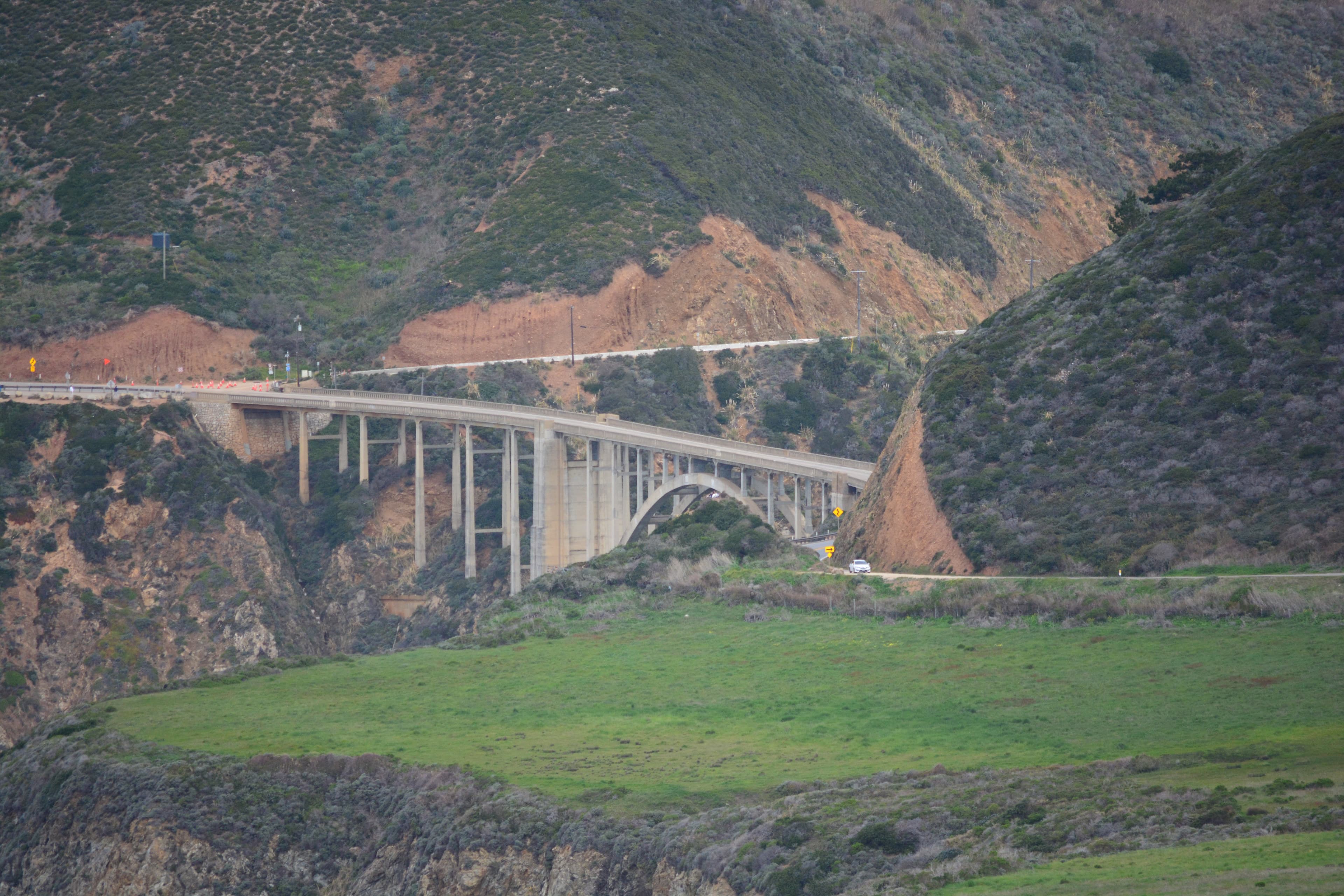
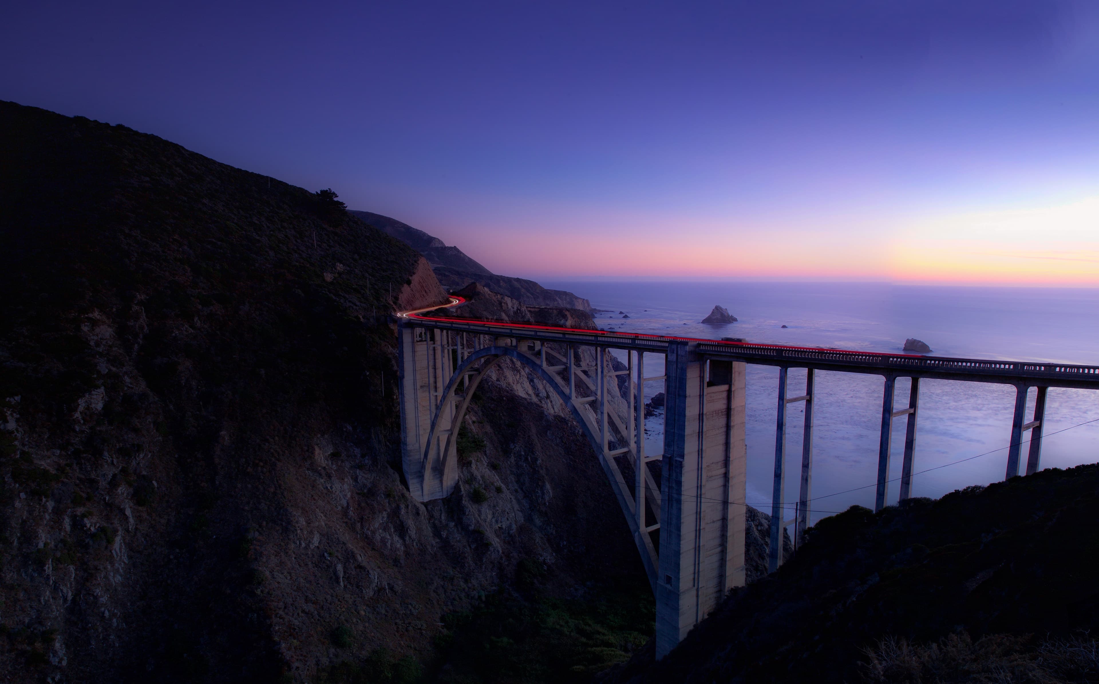
Big Sur is not one attraction but a corridor: nearly 90 miles of Highway 1 between the Monterey Peninsula and San Simeon, carved into cliffs where the Santa Lucia range drops straight into the Pacific. Bixby Creek Bridge, an arched 1932 concrete span 280 feet above the water, is the most photographed point on the route but only one of many. Further south, McWay Falls drops 80 feet onto a cove beach that's viewable but closed to foot access, and Pfeiffer Beach — reached by an easy-to-miss turn off the highway — is known for its purple-streaked sand and a sea arch the tide moves through at the right hour. None of these are far from each other by distance, but the road between them is narrow, cliff-edge and often slow, so a Big Sur day moves at the pace the coastline sets, not the pace a map suggests. To the north, the drive connects naturally to Monterey and Carmel-by-the-Sea; Big Sur itself has no real town, only a scattering of inns, restaurants and trailheads along the highway.
The Road Is The Place
Highway 1 · Cliffs · Coast
There is no shortcut — the coastline only opens up at the speed of the drive.
Highway 1 through Big Sur runs along cliff edges with the ocean directly below, connecting a handful of specific, well-known stops — a bridge, a waterfall, a beach — that are otherwise unreachable except by the road itself.
Journey Possibility
Drive the corridor south to north or north to south in a single day with stops at Bixby Creek Bridge, McWay Falls and Pfeiffer Beach, or slow the pace and split it across two with a night along the way.